
Bangkok Situational Map
Holographic city situation map
Bangkok as a 3D holographic map: where the water is and where it could rise next, which roads to avoid, where people are asking for help, and the rain on its way, refreshed through the day.
GoalHelp people in the city check flooding on their route and plan around it.
Preview demo ->Built and deployed in 24 hours
It started as a visual experiment.
Then people started using it during the flood, so we pushed it a little further to make it genuinely helpful. It shows where the water is, which areas to take care around, and where to find shelter, free parking and help, all from public data, updated every few minutes.
- 24 hours to live
- Free
- No sign-up
- Any phone
- Works offline
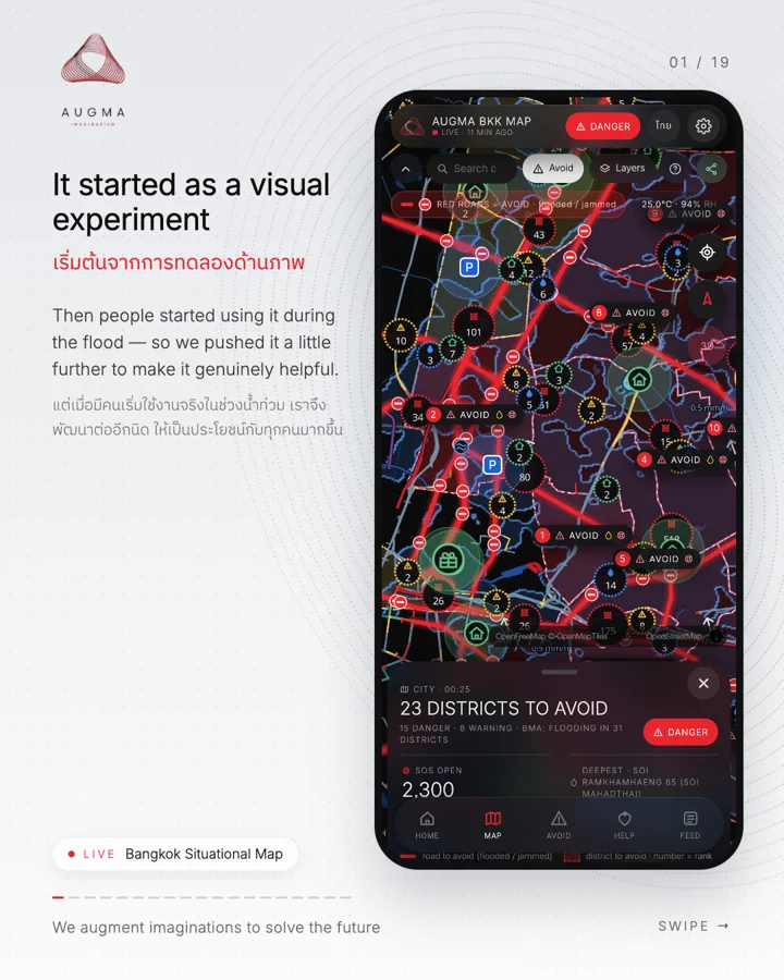
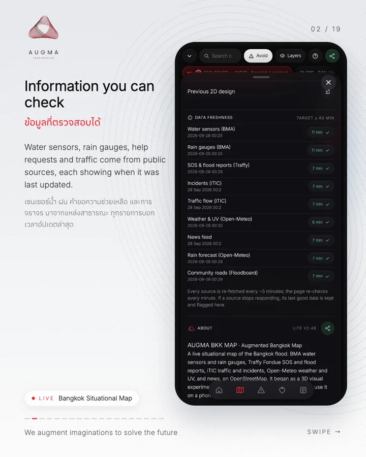
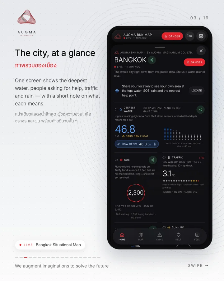
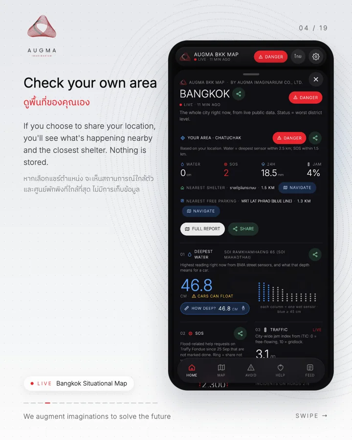
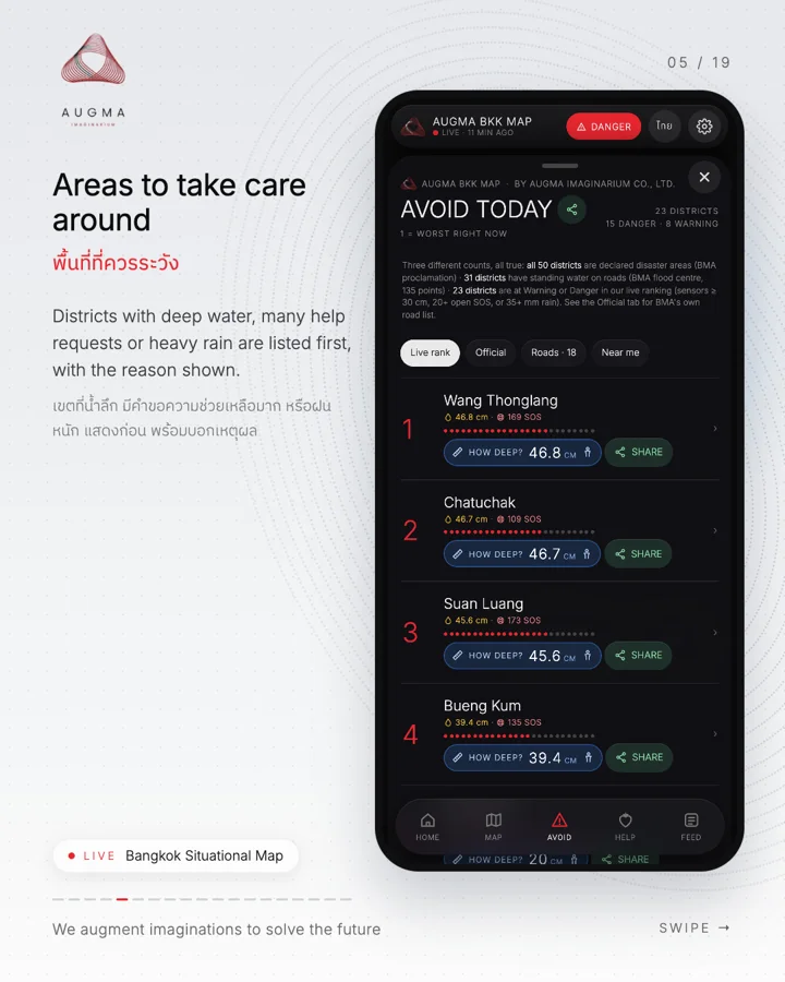
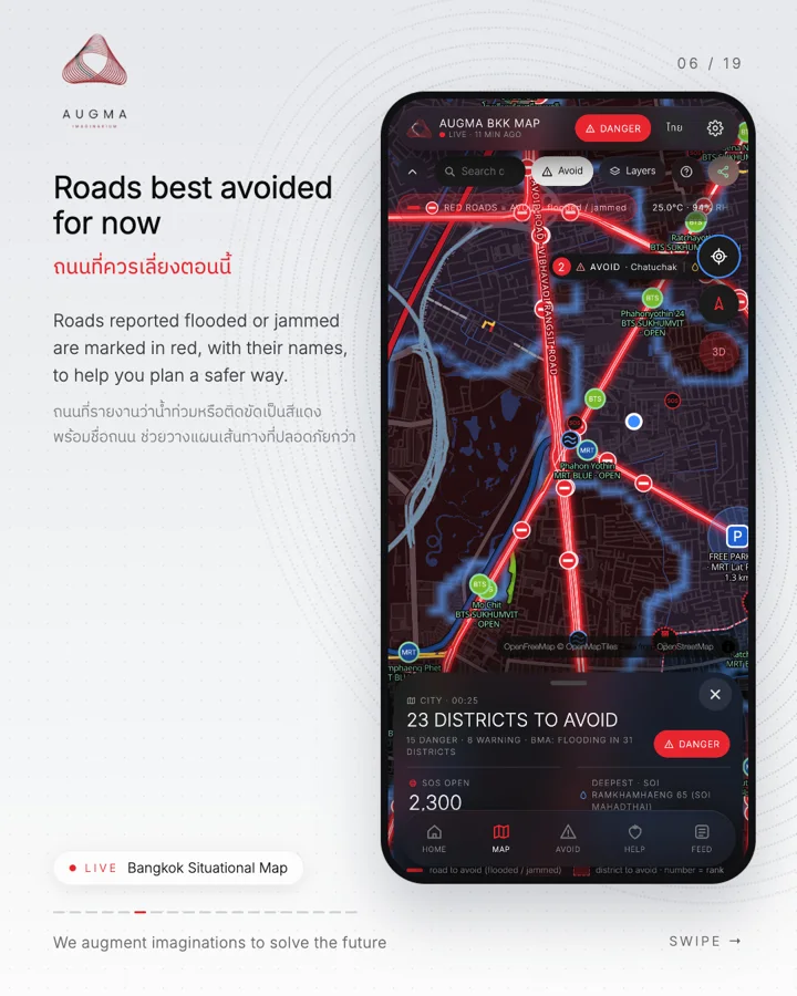
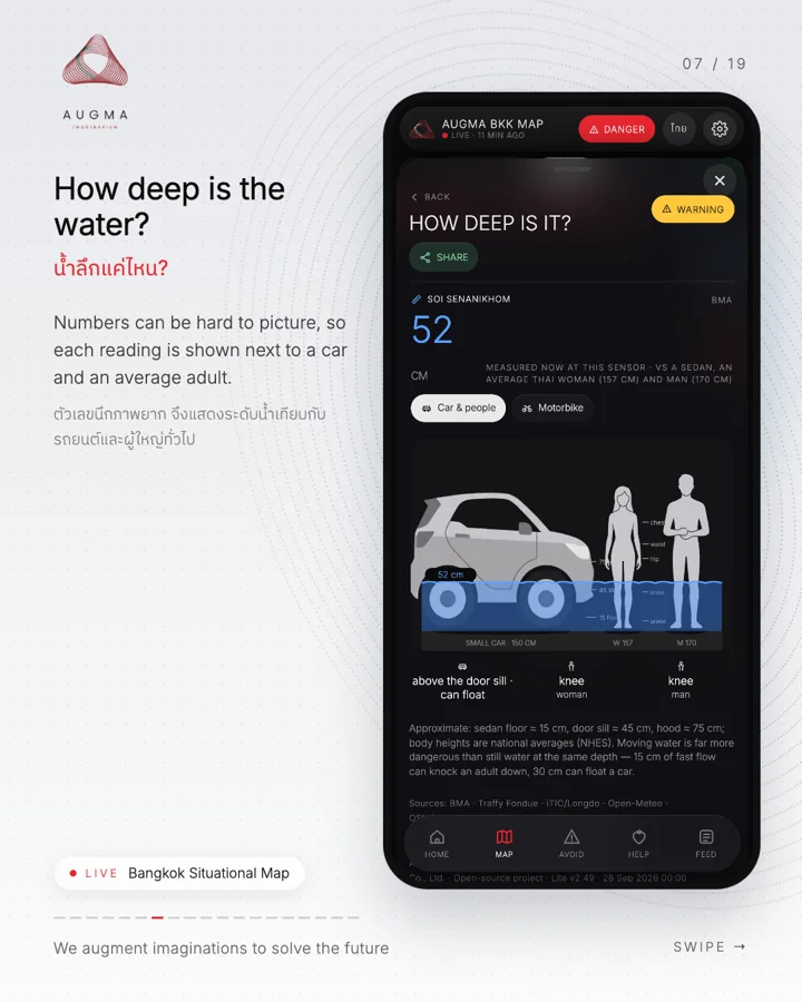
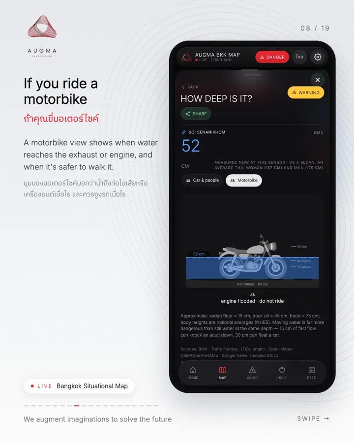
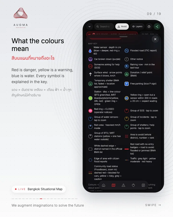
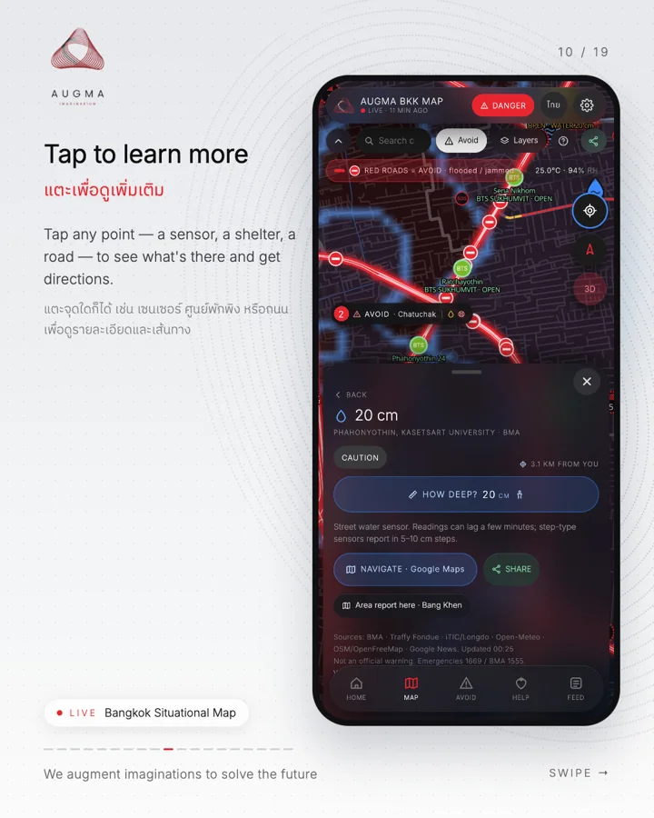
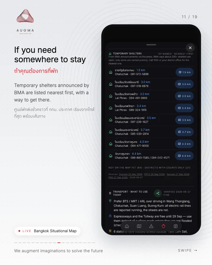
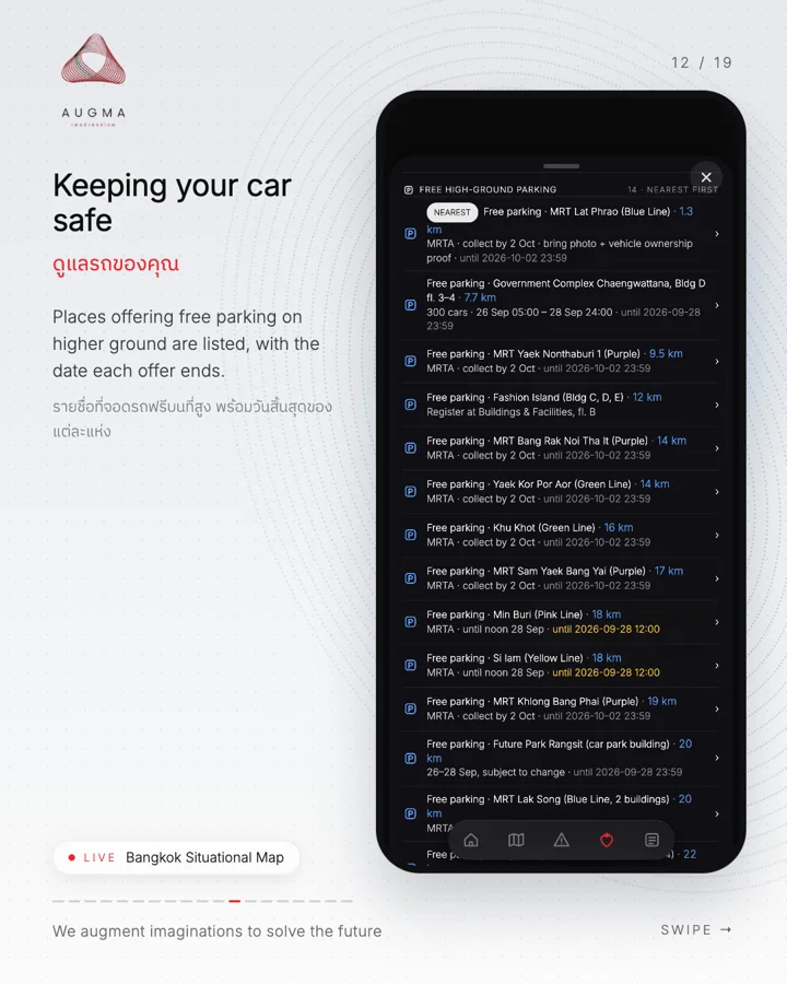
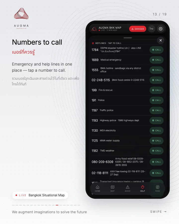
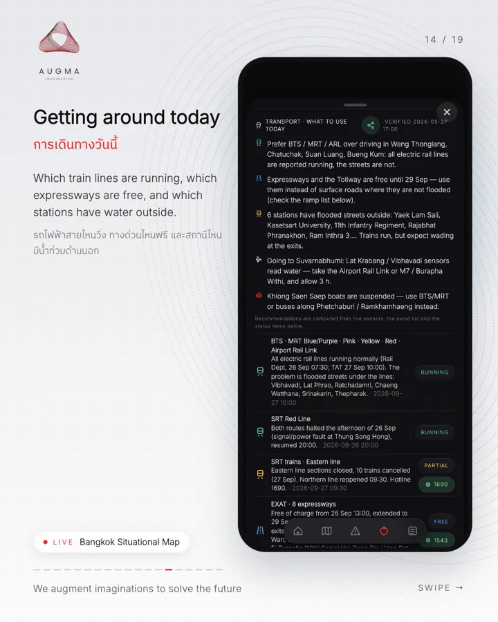
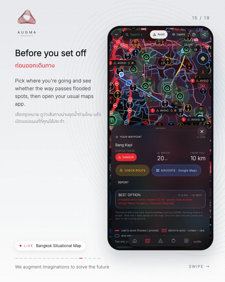
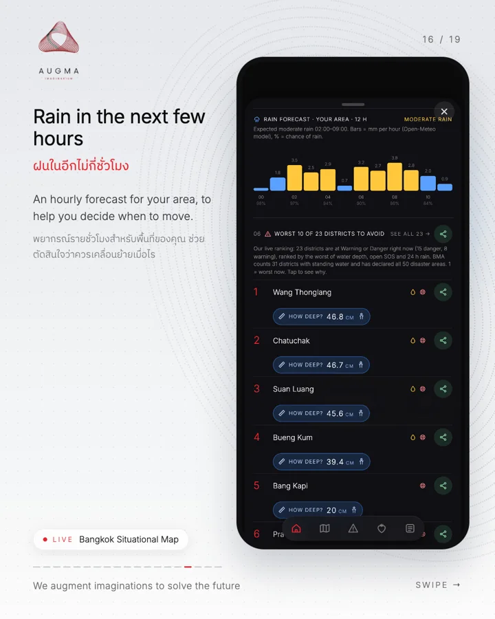
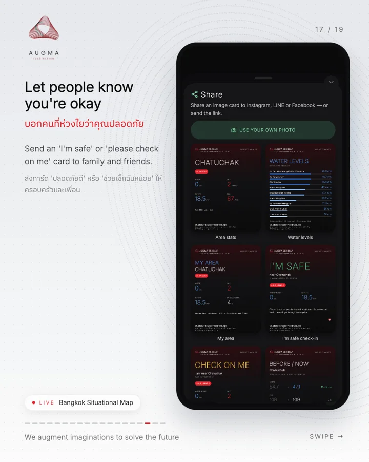
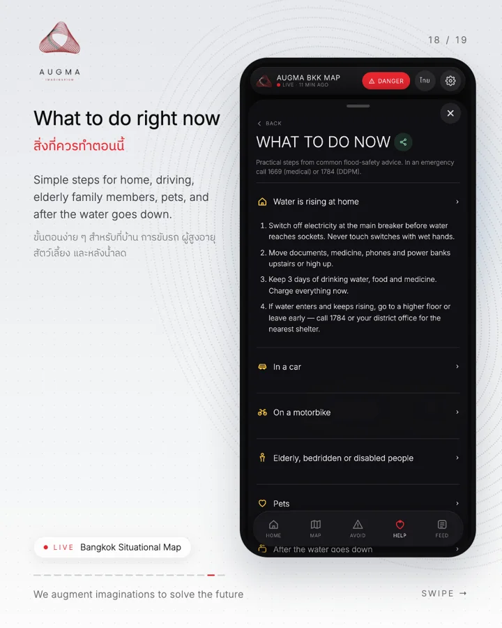
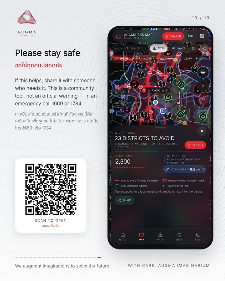
Screens captured from the live app; numbers reflect the time of capture. A community tool, not an official warning. Emergencies: 1669 (medical) · 1784 (DDPM) · 1555 (BMA).
The map, in miniature
The whole city, on one stand.
- Flood
- Broken-down car
- SOS
- Warning
- Scan
Positions for illustration only · drag to turn
How it works
Many sources, one map.
Sources
and merged
Every source is gathered on a schedule, checked and placed on one map.Refreshed through the day
On the map
Data: OpenStreetMap · BMA · Traffy Fondue · iTIC / Longdo · Open-Meteo